Lake-effect snow is a powerful weather phenomenon that occurs when cold air moves over a large, relatively warm body of water, like a lake. This interaction creates a unique meteorological event that can produce significant amounts of snow, particularly in specific geographic regions.
The process begins when frigid air, often originating from the Arctic, encounters a relatively warmer lake surface. As the cold air passes over the lake, it picks up moisture and warmth. This moisture-laden air then rises and cools, causing the water vapor to condense and form snow.
The result is a band of heavy snowfall that often extends downwind from the lake, creating significant accumulations in areas that might otherwise experience little snowfall.
Lake-Effect Snow: Definition and Formation
Lake-effect snow is a meteorological phenomenon that occurs when cold, dry air moves over a large body of relatively warm water, such as a lake. This interaction leads to the formation of heavy snowfall, often concentrated in bands downwind of the lake.
Meteorological Conditions
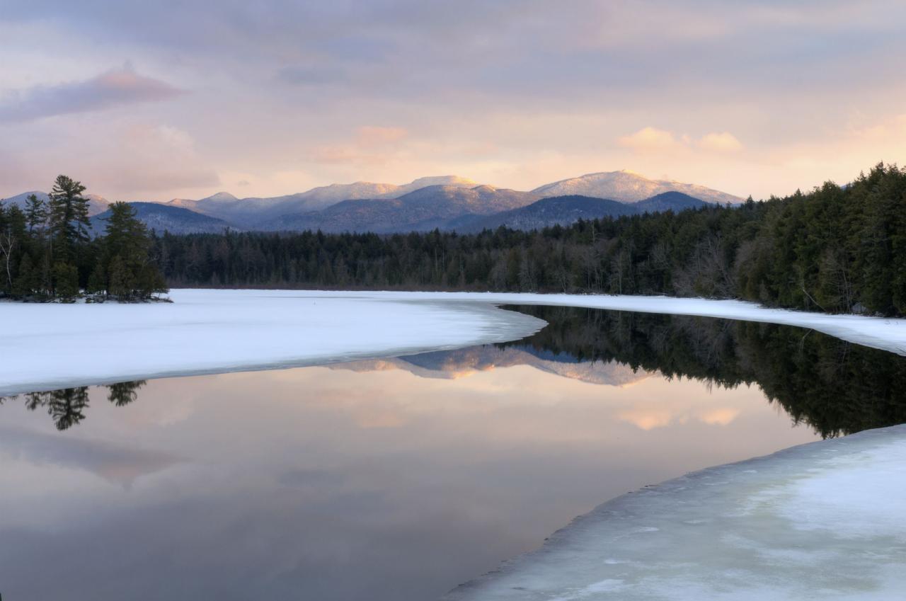
The formation of lake-effect snow depends on a specific set of meteorological conditions:
- Cold Air Mass:A cold air mass, typically originating from the Arctic or northern regions, is essential. The air must be significantly colder than the lake water.
- Warm Lake Water:The lake water needs to be relatively warm, typically above freezing, to provide the necessary moisture and heat for snow formation.
- Favorable Wind Direction:Winds must blow from the cold air mass over the warm lake water and continue in the same direction for a sustained period.
- Stable Atmosphere:A stable atmosphere, where the air temperature decreases with altitude, helps to prevent vertical mixing and allows the snow-producing clouds to persist.
Process of Snow Formation
When cold air moves over a warm lake, the water surface heats the air directly above it. This warm, moist air rises, cools, and condenses, forming clouds. As the air continues to rise and cool, water vapor freezes into ice crystals, which eventually fall as snow.
Geographic Regions
Lake-effect snow is most common in regions where large lakes are situated downwind of cold air masses. Some of the most prominent areas include:
- Great Lakes Region of North America:The Great Lakes, particularly Lake Erie and Lake Ontario, are notorious for producing heavy lake-effect snow events.
- Eastern Coast of North America:The Atlantic Ocean, especially during winter, can also contribute to lake-effect snow along the eastern coast of the United States.
- Europe:The Baltic Sea, Lake Ladoga, and other large lakes in northern Europe can produce lake-effect snow, particularly in Scandinavia and Finland.
- Asia:Lake Baikal, the largest freshwater lake in the world, is located in Siberia and can generate significant lake-effect snow events.
Factors Influencing Lake-Effect Snow Intensity
The intensity of lake-effect snow can vary significantly depending on a combination of factors.
Lake Temperature
The temperature difference between the cold air mass and the warm lake water is a key factor determining snow intensity. A larger temperature difference leads to greater evaporation and more moisture available for snow formation. For example, a lake with a temperature of 40°F (4°C) will produce more intense snow than a lake at 32°F (0°C) under similar wind conditions.
Wind Speed and Direction
Wind speed and direction play a crucial role in the distribution and intensity of lake-effect snow. Strong winds can transport more moisture from the lake, leading to heavier snowfall. The direction of the wind determines the location where the snow falls.
Winds blowing directly across the lake will create a narrow band of heavy snow, while winds blowing at an angle will produce a wider and less intense band.
Lake Size and Depth, Lake-effect snow
The size and depth of the lake also influence the amount of snow produced. Larger and deeper lakes provide a greater surface area for evaporation and hold more warm water, which translates to more moisture available for snowfall. For instance, Lake Ontario, being the largest of the Great Lakes, is known for generating some of the most intense lake-effect snow events.
Impacts of Lake-Effect Snow
Lake-effect snow can have both positive and negative impacts on transportation, local economies, and human health and safety.
Transportation
- Positive:Lake-effect snow can replenish water supplies and provide moisture for agriculture in some regions.
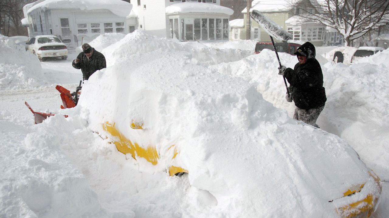
- Negative:Heavy snowfall can cause road closures, flight delays, and disruptions to transportation systems. This can lead to economic losses, inconvenience, and safety hazards.
Local Economies and Businesses
- Positive:Tourism industries in some areas, particularly ski resorts, can benefit from heavy snowfall.
- Negative:Businesses and industries can face disruptions and losses due to snow-related closures, transportation delays, and power outages.
Human Health and Safety
- Positive:Lake-effect snow can provide recreational opportunities for winter sports enthusiasts.
- Negative:Heavy snowfall can lead to hypothermia, frostbite, and other health risks. Snowstorms can also cause power outages, leading to disruptions in heating and communication.
Forecasting Lake-Effect Snow
Meteorologists use a variety of methods to predict lake-effect snow events.
Methods
- Numerical Weather Prediction Models:These models use complex equations to simulate atmospheric conditions and forecast snowfall patterns.
- Satellite Imagery:Satellite images can provide valuable information about cloud cover, snow depth, and the movement of snow bands.
- Radar Data:Radar systems can detect precipitation and track the movement of snowstorms.
- Surface Observations:Weather stations provide data on temperature, wind speed and direction, and other factors that influence lake-effect snow.
Challenges
Accurately forecasting the timing and intensity of lake-effect snow events can be challenging due to:
- Small-Scale Variability:Lake-effect snow can be highly localized, with intense bands of snowfall concentrated in narrow areas.
- Rapid Changes:The intensity and location of snow bands can change rapidly, making it difficult to predict their exact path.
- Complex Interactions:Multiple factors, such as lake temperature, wind speed, and atmospheric stability, interact to influence snowfall, making it difficult to model accurately.
Key Factors in Forecasting
| Factor | Description |
|---|---|
| Lake Temperature | The difference between the air temperature and lake water temperature is crucial for determining snow intensity. |
| Wind Speed and Direction | Strong winds and a sustained wind direction over the lake will enhance snowfall. |
| Atmospheric Stability | A stable atmosphere, where the air temperature decreases with altitude, helps to maintain snow-producing clouds. |
| Lake Size and Depth | Larger and deeper lakes provide more moisture for snowfall. |
Lake-Effect Snow: A Global Phenomenon
Lake-effect snow is not limited to the Great Lakes region. It occurs in various parts of the world, with unique characteristics and patterns.
Global Comparisons
- Great Lakes vs. Baltic Sea:Lake-effect snow in the Great Lakes region is often characterized by intense bands of heavy snowfall, while events in the Baltic Sea tend to be less intense but more widespread.
- North America vs. Europe:Lake-effect snow in North America is typically associated with cold air masses originating from the Arctic, while in Europe, it is more commonly influenced by cold air masses from Siberia.
Regions Susceptible to Lake-Effect Snow
A map highlighting regions most susceptible to lake-effect snow would show clusters of high snowfall events near large lakes and oceans in cold climates, including:
- North America:The Great Lakes region, the Atlantic coast, and the Gulf of Alaska.
- Europe:The Baltic Sea region, the Scandinavian peninsula, and the eastern coast of the Mediterranean Sea.
- Asia:Lake Baikal in Siberia, the Sea of Japan, and the coast of the Yellow Sea.
- Other Regions:Large lakes in the Southern Hemisphere, such as Lake Titicaca in the Andes Mountains, can also experience lake-effect snow.
Lake-Effect Snow Patterns
Different types of lake-effect snow patterns can occur, depending on the specific combination of factors influencing the formation of snow bands.
- Linear Bands:These bands of heavy snowfall are typically narrow and elongated, extending downwind from the lake.
- Curved Bands:When winds are blowing at an angle to the lake, the snow bands can curve and become more widespread.
- Multiple Bands:In some cases, multiple bands of lake-effect snow can form, creating a complex pattern of snowfall.
Final Conclusion
Understanding the intricate mechanisms behind lake-effect snow is crucial for predicting its intensity and impact. From transportation disruptions to economic consequences, lake-effect snow can have a significant influence on our lives. By studying the factors that contribute to its formation and evolution, we can better prepare for its arrival and mitigate its potential hazards.
The study of lake-effect snow is an ongoing pursuit, with advancements in meteorological modeling and forecasting constantly enhancing our ability to predict and prepare for these powerful winter events.


